Skip to content
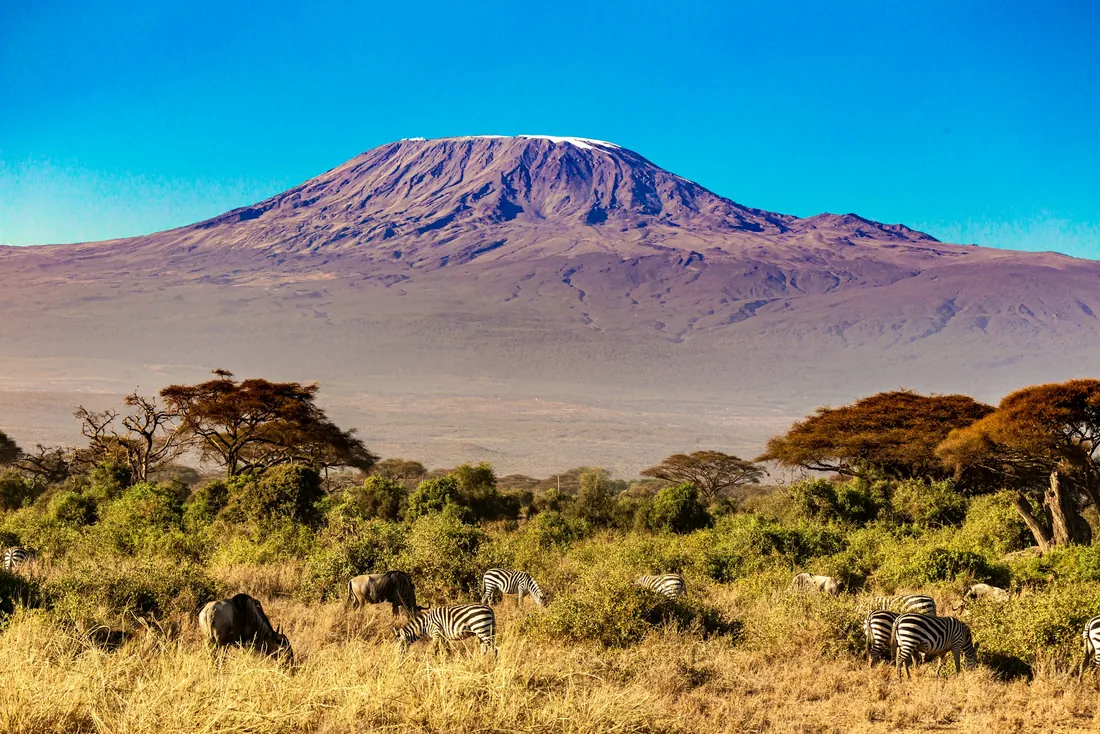
Snow-capped Mount Kilimanjaro above acacia trees
Roof of Africa

Climb Mount Kilimanjaro with Kodo Tours

Seven routes to Uhuru Peak, 5,895 m, compared side by side, with day-by-day itineraries, the best months to climb, a packing list and answers to the questions climbers ask most.

5,895 mUhuru Peak, 19,341 ft
7 routesFrom 5 to 9 days
5 zonesFarmland to glacier
Jan to Mar, Jun to OctDriest climbing months
Age 10+Park minimum for summit
Choose your route

Kilimanjaro routes compared

More days on the mountain give your body more time to adjust to altitude. For most first-time climbers Kodo suggests Machame in 7 days or Lemosho in 8. Marangu and Rongai are gentler; Umbwe suits experienced hikers only.

RouteDaysDistanceStartDescentSleepingDifficultyTrafficAcclimatisationScenery
Marangu Route5 or 6 days (Kodo: 6)about 72 kmMarangu Gate, 1,879 mMarangu (same path)Huts with bunk bedsModerateHighFair with the 6-day planGood
Machame Route6 or 7 days (Kodo: 7)about 62 kmMachame Gate, 1,800 mMwekaTentsChallengingHighGood with 7 daysExcellent
Lemosho Route7 or 8 days (Kodo: 8)about 70 kmLondorossi Gate, 2,250 mMwekaTentsChallengingLow at first, then mediumVery goodExcellent
Rongai Route6 or 7 daysabout 73 kmRongai Gate (Nale Moru), 1,950 mMaranguTents up, huts on the way downModerateLowGood with 7 daysGood
Northern Circuit8 or 9 days (9 shown)about 90 kmLondorossi Gate, 2,250 mMwekaTentsChallengingVery lowExcellentExcellent
Umbwe Route6 daysabout 53 kmUmbwe Gate, 1,640 mMwekaTentsVery challengingVery lowLimitedVery good
Shira Route7 daysabout 56 kmLondorossi Gate, then vehicle to about 3,600 mMwekaTentsChallengingLow at firstFair (high start)Very good

Distances and walking times are approximate. They change with weather, pace and the exact camps used.

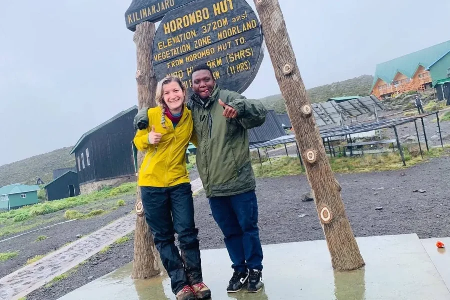
Kodo guide and climber at Horombo Hut, Kilimanjaro
Coca-Cola Route

Marangu Route

Marangu is the oldest route on Kilimanjaro and the only one with hut accommodation. You walk up and down the same path through rainforest, moorland and the alpine desert of the Saddle between Mawenzi and Kibo. The 6-day plan adds a rest day at Horombo Hut, which raises your chance of reaching the top.

Days
5 or 6 days (Kodo: 6)
Distance
about 72 km
Start
Marangu Gate, 1,879 m
Descent
Marangu (same path) route
Sleeping
Huts with bunk beds
Approach
South-east
Difficulty
Moderate
Acclimatisation
Fair with the 6-day plan

Best for: First-time climbers who prefer a bed and a roof, and climbing in the rainy months.

Day-by-day itinerary, 6 days

  1. Day 1

    Marangu Gate to Mandara Hut

    1,879 m to 2,720 m · 8 km, 4 to 5 h

    Rainforest with colobus monkeys. Short walk to Maundi Crater in the afternoon.

  2. Day 2

    Mandara Hut to Horombo Hut

    2,720 m to 3,720 m · 12 km, 6 to 7 h

    Into open heath and moorland, first clear views of Kibo and Mawenzi.

  3. Day 3

    Acclimatisation at Horombo

    3,720 m, walk to about 4,000 m · 3 to 4 h

    Hike to Zebra Rocks and back. Climb high, sleep low.

  4. Day 4

    Horombo Hut to Kibo Hut

    3,720 m to 4,720 m · 10 km, 6 to 7 h

    Across the Saddle, a high alpine desert. Early dinner and rest.

  5. Day 5

    Summit, then down to Horombo

    4,720 m to 5,895 m to 3,720 m · 21 km, 11 to 14 h

    Leave near midnight. Gilman's Point at the crater rim, then Uhuru Peak at sunrise.

  6. Day 6

    Horombo Hut to Marangu Gate

    3,720 m to 1,879 m · 20 km, 5 to 6 h

    Descent through moorland and forest. Summit certificates at the gate.

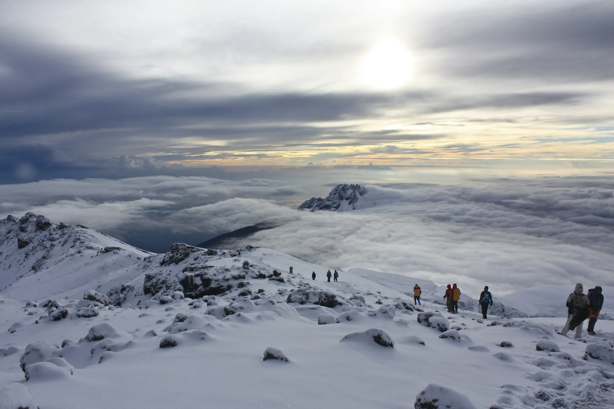
Trekkers on a Kilimanjaro trail
Whiskey Route

Machame Route

Machame is the most popular camping route. It climbs through rainforest to the Shira Plateau, then traverses under the southern ice fields past Lava Tower and up the Barranco Wall. The 7-day plan follows the climb-high, sleep-low pattern that helps your body adjust.

Days
6 or 7 days (Kodo: 7)
Distance
about 62 km
Start
Machame Gate, 1,800 m
Descent
Mweka route
Sleeping
Tents
Approach
South-west
Difficulty
Challenging
Acclimatisation
Good with 7 days

Best for: Fit hikers who want varied scenery and a good acclimatisation profile.

Day-by-day itinerary, 7 days

  1. Day 1

    Machame Gate to Machame Camp

    1,800 m to 2,835 m · 11 km, 5 to 7 h

    Dense rainforest, black-and-white colobus monkeys.

  2. Day 2

    Machame Camp to Shira 2 Camp

    2,835 m to 3,850 m · 5 km, 4 to 6 h

    Steep ridge into heath, then across the Shira Plateau.

  3. Day 3

    Shira 2 to Lava Tower to Barranco Camp

    3,850 m to 4,630 m to 3,960 m · 10 km, 6 to 8 h

    Key acclimatisation day. Lunch at Lava Tower, sleep lower in the Barranco Valley.

  4. Day 4

    Barranco Camp to Karanga Camp

    3,960 m to 3,995 m · 5 km, 4 to 5 h

    Scramble up the Barranco Wall, a non-technical climb with big views.

  5. Day 5

    Karanga Camp to Barafu Camp

    3,995 m to 4,673 m · 4 km, 4 to 5 h

    Alpine desert to base camp. Early dinner, sleep by 19:00.

  6. Day 6

    Summit, then down to Mweka Camp

    4,673 m to 5,895 m to 3,100 m · 17 km, 11 to 14 h

    Midnight start. Stella Point at dawn, Uhuru Peak, then a long descent.

  7. Day 7

    Mweka Camp to Mweka Gate

    3,100 m to 1,640 m · 10 km, 3 to 4 h

    Rainforest descent, summit certificates, farewell with the crew.

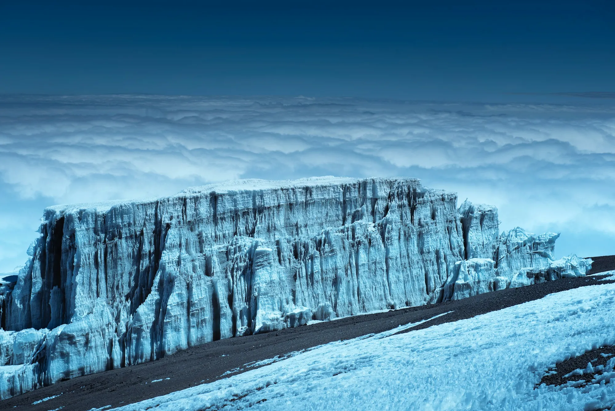
Glacier wall near the summit of Kilimanjaro

Lemosho Route

Lemosho starts on the remote western side of the mountain. The first two days are quiet forest and heath, then you cross the full width of the Shira Plateau before joining the southern circuit at Lava Tower. Eight days gives your body time to adjust.

Days
7 or 8 days (Kodo: 8)
Distance
about 70 km
Start
Londorossi Gate, 2,250 m
Descent
Mweka route
Sleeping
Tents
Approach
West
Difficulty
Challenging
Acclimatisation
Very good

Best for: Travellers who want quiet trails, the best scenery and a high summit success profile.

Day-by-day itinerary, 8 days

  1. Day 1

    Londorossi Gate to Mti Mkubwa Camp

    2,100 m trailhead to 2,780 m · 6 km, 3 to 4 h

    Drive to the Lemosho trailhead after registration. Quiet montane forest.

  2. Day 2

    Mti Mkubwa to Shira 1 Camp

    2,780 m to 3,610 m · 8 km, 5 to 6 h

    Out of the forest onto the rim of the Shira caldera.

  3. Day 3

    Shira 1 to Shira 2 Camp

    3,610 m to 3,850 m · 7 km, 4 to 5 h

    Across the plateau, optional walk to Shira Cathedral.

  4. Day 4

    Shira 2 to Lava Tower to Barranco Camp

    3,850 m to 4,630 m to 3,960 m · 10 km, 6 to 8 h

    Acclimatisation day under the southern ice fields.

  5. Day 5

    Barranco Camp to Karanga Camp

    3,960 m to 3,995 m · 5 km, 4 to 5 h

    Barranco Wall scramble.

  6. Day 6

    Karanga Camp to Barafu Camp

    3,995 m to 4,673 m · 4 km, 4 to 5 h

    To base camp. Rest and prepare.

  7. Day 7

    Summit, then down to Mweka Camp

    4,673 m to 5,895 m to 3,100 m · 17 km, 11 to 14 h

    Stella Point at dawn, Uhuru Peak, long descent.

  8. Day 8

    Mweka Camp to Mweka Gate

    3,100 m to 1,640 m · 10 km, 3 to 4 h

    Descent through rainforest, certificates at the gate.
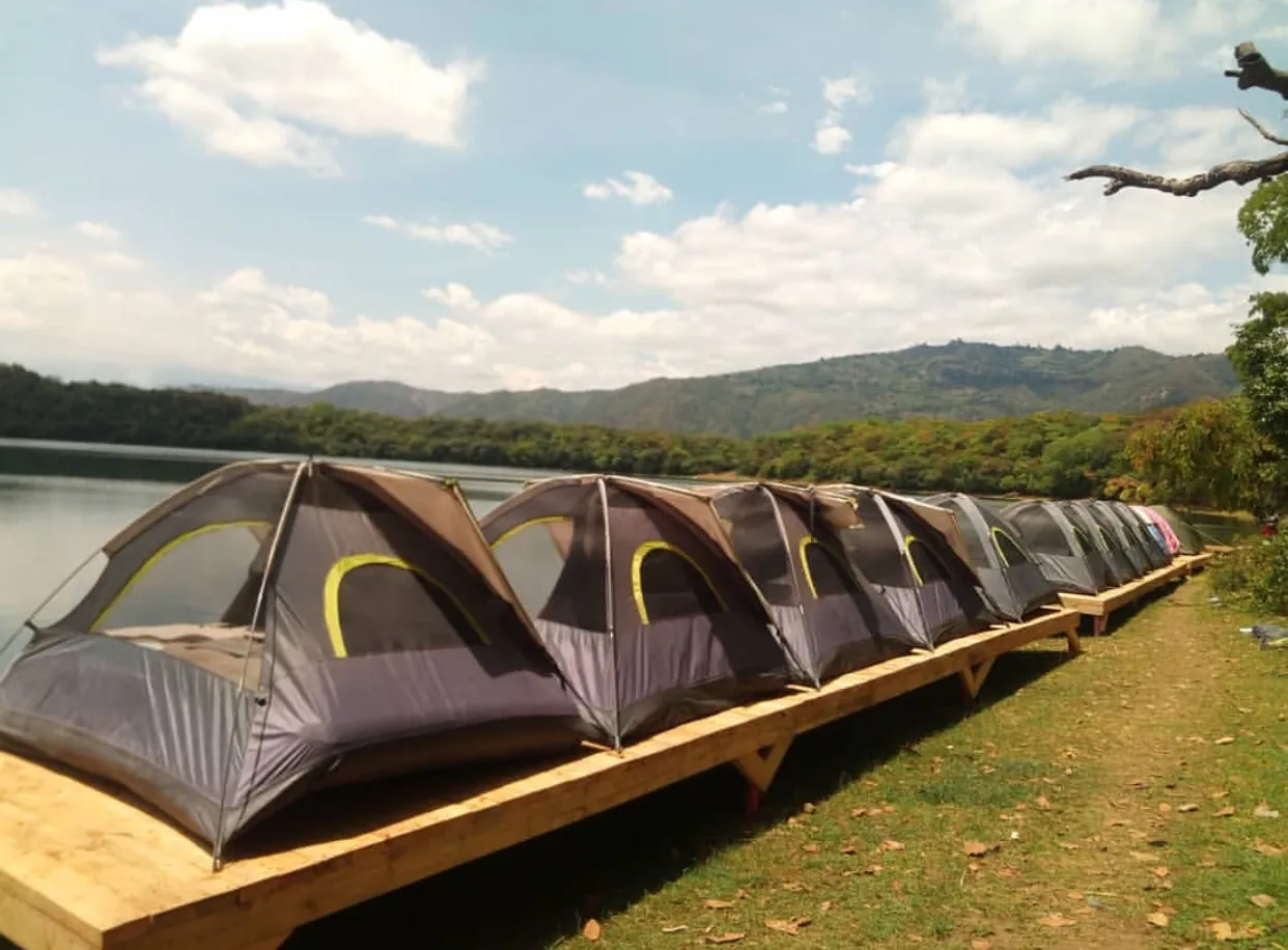
Tents at a high camp below Kibo

Rongai Route

Rongai is the only route that starts on the northern side, close to the Kenyan border. This side gets less rain, the trails are quiet and the gradient is steady. You camp beside Mawenzi Tarn before crossing to Kibo Hut, and descend on the Marangu path.

Days
6 or 7 days
Distance
about 73 km
Start
Rongai Gate (Nale Moru), 1,950 m
Descent
Marangu route
Sleeping
Tents up, huts on the way down
Approach
North
Difficulty
Moderate
Acclimatisation
Good with 7 days

Best for: Climbing in the wetter months, or anyone who wants a quieter, gentler gradient.

Day-by-day itinerary, 7 days

  1. Day 1

    Rongai Gate to Simba Camp

    1,950 m to 2,625 m · 7 km, 3 to 4 h

    Pine plantation and forest edge.

  2. Day 2

    Simba Camp to Second Cave

    2,625 m to 3,450 m · 6 km, 3 to 4 h

    Open moorland with views of Kibo.

  3. Day 3

    Second Cave to Kikelewa Camp

    3,450 m to 3,600 m · 6 km, 3 to 4 h

    Towards the jagged peaks of Mawenzi.

  4. Day 4

    Kikelewa to Mawenzi Tarn

    3,600 m to 4,330 m · 4 km, 3 to 4 h

    Camp beside a glacial lake under Mawenzi.

  5. Day 5

    Mawenzi Tarn to Kibo Hut

    4,330 m to 4,720 m · 8 km, 5 to 6 h

    Across the Saddle to base camp.

  6. Day 6

    Summit, then down to Horombo Hut

    4,720 m to 5,895 m to 3,720 m · 21 km, 11 to 14 h

    Gilman's Point, then Uhuru Peak.

  7. Day 7

    Horombo Hut to Marangu Gate

    3,720 m to 1,879 m · 20 km, 5 to 6 h

    Descent on the Marangu path.

Climbers crossing snow near the summit

Northern Circuit

The Northern Circuit is the longest route on Kilimanjaro. It starts like Lemosho, then circles the rarely visited northern slopes before the summit. More days at altitude means better acclimatisation, and you see the mountain from every side.

Days
8 or 9 days (9 shown)
Distance
about 90 km
Start
Londorossi Gate, 2,250 m
Descent
Mweka route
Sleeping
Tents
Approach
West, then north
Difficulty
Challenging
Acclimatisation
Excellent

Best for: Climbers with time who want the best acclimatisation and the fewest people.

Day-by-day itinerary, 9 days

  1. Day 1

    Londorossi Gate to Mti Mkubwa Camp

    2,100 m to 2,780 m · 6 km, 3 to 4 h

    Western forest start.

  2. Day 2

    Mti Mkubwa to Shira 1 Camp

    2,780 m to 3,610 m · 8 km, 5 to 6 h

    Onto the Shira Plateau.

  3. Day 3

    Shira 1 to Shira 2 Camp

    3,610 m to 3,850 m · 7 km, 4 to 5 h

    Plateau crossing.

  4. Day 4

    Shira 2 to Lava Tower to Moir Hut

    3,850 m to 4,630 m to 4,200 m · 12 km, 6 to 8 h

    Acclimatisation via Lava Tower, then north.

  5. Day 5

    Moir Hut to Buffalo Camp

    4,200 m to 4,020 m · 12 km, 5 to 7 h

    Onto the quiet northern slopes.

  6. Day 6

    Buffalo Camp to Third Cave

    4,020 m to 3,870 m · 8 km, 5 to 6 h

    Views north over the Kenyan plains.

  7. Day 7

    Third Cave to School Hut

    3,870 m to 4,750 m · 5 km, 4 to 5 h

    High camp below the crater rim.

  8. Day 8

    Summit, then down to Mweka Camp

    4,750 m to 5,895 m to 3,100 m · 20 km, 12 to 15 h

    Gilman's Point, Uhuru Peak, descent on the south side.

  9. Day 9

    Mweka Camp to Mweka Gate

    3,100 m to 1,640 m · 10 km, 3 to 4 h

    Final descent and certificates.

Tent below the Kibo summit at dusk

Umbwe Route

Umbwe is the shortest, steepest way up Kilimanjaro. It climbs a narrow forest ridge straight to Barranco, where it joins the Machame route. It is quiet and dramatic, but the fast gain in height leaves less time to acclimatise, so Kodo recommends it only for experienced trekkers.

Days
6 days
Distance
about 53 km
Start
Umbwe Gate, 1,640 m
Descent
Mweka route
Sleeping
Tents
Approach
South
Difficulty
Very challenging
Acclimatisation
Limited

Best for: Strong, experienced hikers who have been at altitude before.

Day-by-day itinerary, 6 days

  1. Day 1

    Umbwe Gate to Umbwe Cave Camp

    1,640 m to 2,850 m · 11 km, 5 to 7 h

    Steep forest ridge, roots and ladders of trees.

  2. Day 2

    Umbwe Cave to Barranco Camp

    2,850 m to 3,960 m · 6 km, 4 to 6 h

    Ridge walk into the Barranco Valley.

  3. Day 3

    Barranco Camp to Karanga Camp

    3,960 m to 3,995 m · 5 km, 4 to 5 h

    Barranco Wall scramble.

  4. Day 4

    Karanga Camp to Barafu Camp

    3,995 m to 4,673 m · 4 km, 3 to 4 h

    To base camp.

  5. Day 5

    Summit, then down to Mweka Camp

    4,673 m to 5,895 m to 3,100 m · 17 km, 11 to 14 h

    Stella Point, Uhuru Peak, descent.

  6. Day 6

    Mweka Camp to Mweka Gate

    3,100 m to 1,640 m · 10 km, 3 to 4 h

    Rainforest descent.

Mount Kilimanjaro above the plains

Shira Route

On the Shira route a vehicle drives you up to about 3,600 m on the Shira Plateau, skipping the rainforest. From there the trail matches Lemosho. Starting this high saves walking time but gives the body a sudden jump in altitude, so it suits climbers who have just been at altitude.

Days
7 days
Distance
about 56 km
Start
Londorossi Gate, then vehicle to about 3,600 m
Descent
Mweka route
Sleeping
Tents
Approach
West
Difficulty
Challenging
Acclimatisation
Fair (high start)

Best for: Climbers short on time who are already acclimatised, for example after Mount Meru.

Day-by-day itinerary, 7 days

  1. Day 1

    Drive to Morum Barrier, walk to Shira 1 Camp

    about 3,600 m to 3,610 m · short walk, 1 to 2 h

    Vehicle up through the forest, short walk to camp.

  2. Day 2

    Shira 1 to Shira 2 Camp

    3,610 m to 3,850 m · 7 km, 4 to 5 h

    Plateau crossing, Shira Cathedral.

  3. Day 3

    Shira 2 to Lava Tower to Barranco Camp

    3,850 m to 4,630 m to 3,960 m · 10 km, 6 to 8 h

    Acclimatisation day.

  4. Day 4

    Barranco Camp to Karanga Camp

    3,960 m to 3,995 m · 5 km, 4 to 5 h

    Barranco Wall.

  5. Day 5

    Karanga Camp to Barafu Camp

    3,995 m to 4,673 m · 4 km, 4 to 5 h

    To base camp.

  6. Day 6

    Summit, then down to Mweka Camp

    4,673 m to 5,895 m to 3,100 m · 17 km, 11 to 14 h

    Stella Point, Uhuru Peak.

  7. Day 7

    Mweka Camp to Mweka Gate

    3,100 m to 1,640 m · 10 km, 3 to 4 h

    Descent and certificates.

When to go

Best time to climb Kilimanjaro

You can climb all year, but the driest months give clearer views and firmer trails. Many climbers time the summit night near a full moon.

Jan
Feb
Mar
Apr
May
Jun
Jul
Aug
Sep
Oct
Nov
Dec
Dry, best conditionsPossible, some rainLong rains, wet trails

Five climate zones, from farmland to glacier

Cultivated farmland800 to 1,800 m

Coffee and banana farms of the Chagga villages around Moshi and Marangu.

Rainforest1,800 to 2,800 m

Warm and humid. Colobus and blue monkeys, giant ferns and moss.

Heath and moorland2,800 to 4,000 m

Open land with giant groundsels and lobelias. Cold nights.

Alpine desert4,000 to 5,000 m

Dry, rocky and windy. Strong sun by day, frost at night.

Arctic summitabove 5,000 m

Glaciers, ice cliffs and the crater rim. Temperatures well below freezing at night.

Altitude and safety on a Kodo climb

  • Routes planned on the climb-high, sleep-low pattern, with an acclimatisation day where the route allows.
  • Guides check oxygen saturation and pulse with a pulse oximeter twice a day.
  • Emergency oxygen carried on every climb.
  • Walk slowly, "pole pole", and drink 3 to 4 litres of water a day.
  • Anyone with severe symptoms of altitude sickness goes down. Your guide decides.
  • See your doctor before the trip about fitness and altitude medication.

Included in every Kodo climb

  • Park and rescue fees
  • Certified mountain guides, professional chef and porters
  • All-weather tents, or hut beds on Marangu and Mount Meru
  • Three hot meals a day and purified drinking water
  • Emergency oxygen and pulse oximeter checks
  • Private hotel transfers
  • Official summit certificate

Not included

  • International flights and visas
  • Hotel nights before and after the climb
  • Personal gear and sleeping bag (rentals available)
  • Tips for the crew
  • Travel insurance

Kilimanjaro packing list

Clothing
Base layers, a fleece, a down jacket, waterproof jacket and trousers, trekking trousers, warm hat, sun hat, buff, liner and insulated gloves.
Footwear
Broken-in waterproof hiking boots, camp shoes, hiking socks and gaiters.
Sleeping
A 4-season sleeping bag rated to about -10 C. Rental available through Kodo.
On the trail
Day pack of 25 to 35 litres, 3 litres of water capacity, trekking poles, headlamp with spare batteries.
Health
Sunscreen, lip balm with SPF, sunglasses, personal medication, blister care. Talk to your doctor about altitude medication.
Documents
Passport, visa, travel insurance that covers trekking to 6,000 m.

Arriving: fly into Kilimanjaro International Airport (JRO). Kodo picks you up and takes you to your hotel in Moshi or Arusha for a briefing and gear check the night before the climb.

Before or after the climb

Mount Meru, day hikes and Moshi trips

Climb Mount Meru first to acclimatise, try one day on Kilimanjaro, or rest your legs at the Materuni waterfall and Chemka hot springs. Many climbers finish with a safari or a few days on Zanzibar.

Mount Meru at sunriseMountain trek4 days

4-Day Mount Meru Climb

Starts: Arusha

Tanzania's second highest peak, 4,566 m, inside Arusha National Park. Hut accommodation, an armed ranger, and views of Kilimanjaro at sunrise.

  • Socialist Peak, 4,566 m
  • Hut accommodation
  • Wildlife on the lower slopes
Kodo guide and climber at Horombo Hut, KilimanjaroDay trip1 day

Kilimanjaro Day Hike to Mandara Hut

Starts: Moshi

Walk the Kilimanjaro rainforest from Marangu Gate to Mandara Hut at 2,720 m, with a detour to Maundi Crater if time allows.

  • Kilimanjaro rainforest
  • Colobus monkeys
  • No overnight needed
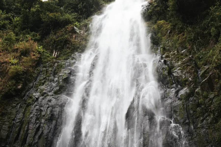
Tall waterfall on a forested cliffDay trip1 day

Materuni Waterfalls and Chemka Hot Springs

Starts: Moshi

A Chagga village coffee tour and the Materuni waterfall in the morning, then a swim in the clear Chemka hot springs.

  • Materuni waterfall walk
  • Chagga coffee tour
  • Chemka hot springs swim
Questions

Kilimanjaro climbing FAQ

How high is Mount Kilimanjaro?

Uhuru Peak, the summit of the Kibo cone, stands at 5,895 m (19,341 ft). It is the highest mountain in Africa and the highest free-standing mountain in the world.

Which Kilimanjaro route is best for beginners?

Marangu (6 days) and Rongai (7 days) have the gentlest gradients. If you are comfortable camping, Machame (7 days) or Lemosho (8 days) give better acclimatisation and scenery.

How many days do I need to climb Kilimanjaro?

Plan 7 or 8 days on the mountain. More days at altitude give your body more time to adjust, which is the biggest factor in reaching the summit.

When is the best time to climb Kilimanjaro?

The driest months are January to early March and June to October. The long rains run from about late March to May, and short rains fall in November. Rongai, on the drier northern side, is a good choice in wetter months.

Do I need climbing experience?

No technical skills are needed on any of the main routes. You do need good fitness for long days of walking, and you should train with hikes in the weeks before.

Is there an age limit?

Kilimanjaro National Park sets a minimum age of 10 for summit climbs. There is no upper limit, but older climbers should see a doctor before booking.

What is altitude sickness and how do you manage it?

Acute mountain sickness causes headache, nausea, tiredness and poor sleep. Walk slowly, drink 3 to 4 litres of water a day, and follow a route with acclimatisation days. Kodo guides run pulse oximeter checks twice a day and carry emergency oxygen. Anyone with severe symptoms descends.

Can I climb Kilimanjaro without a guide?

No. Kilimanjaro National Park requires every climber to go with a licensed guide and a registered operator.

What is included in a Kodo Kilimanjaro climb?

Park and rescue fees, certified mountain guides, a chef and porters, all-weather tents (or hut beds on Marangu), three hot meals a day, purified drinking water, emergency oxygen and pulse oximeter checks, hotel transfers and the official summit certificate.

What is not included?

International flights, visas, hotel nights before and after the climb, personal gear and sleeping bag (rentals available), tips for the crew, and travel insurance.

Which airport do I fly into?

Kilimanjaro International Airport (JRO), between Moshi and Arusha. The park gates are 1 to 2 hours' drive away.

Ask the Kodo team

Send an enquiry

Not sure which trip fits? Ask about routes, seasons, budgets or a trip built from scratch. A real person on the team replies.

  • Booked directly with the local operator
  • Every trip tailored to your dates and budget
  • Reply by email or WhatsApp, Tanzania time UTC+3

Ready to book a specific tour? Open it and use the booking form on its page.

Prefer to chat? WhatsApp +255 628 707 180

What can we help with?
Best way to reply
A real person on the Kodo team reads every message.
  • Secure form. No payment details asked.
  • Local Tanzanian operator, booked direct.
  • Replies in Tanzania time (UTC+3).
On the trail with us

Follow Kodo Tours on Instagram

Recent trips, wildlife sightings and summit days from our guides and guests.

@kodo_tours
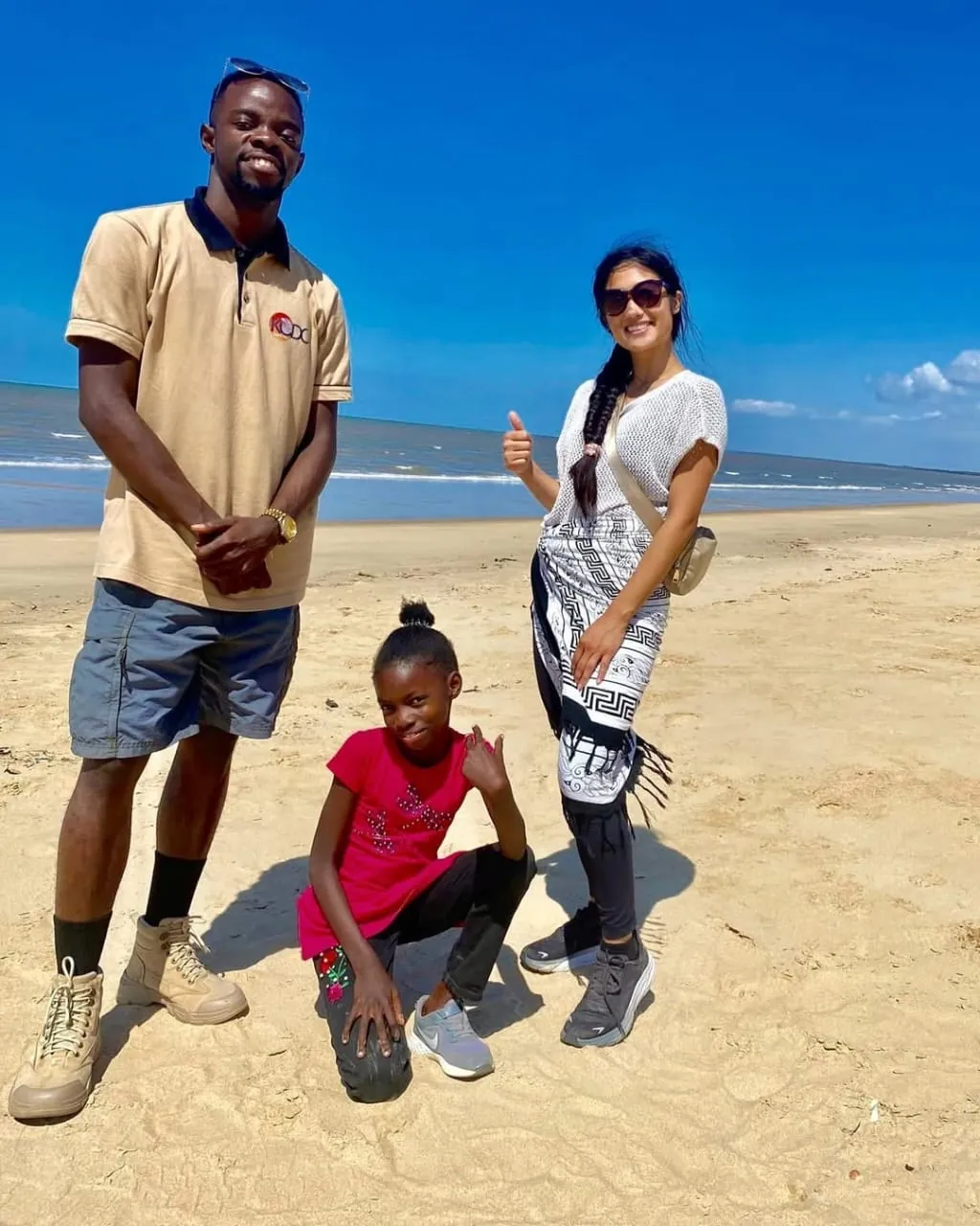
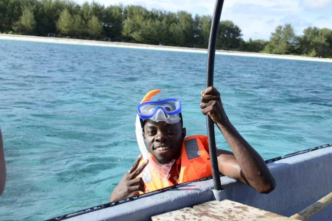
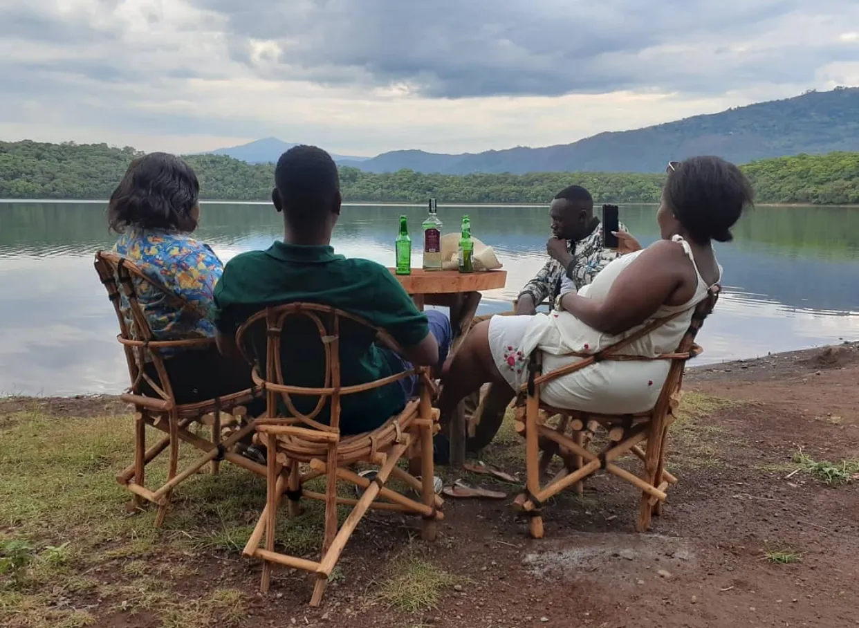
Kodo Tours safari vehicle Kodo guide with guests on the beach Kodo guide at Horombo Hut on Kilimanjaro Snorkelling in Zanzibar with a Kodo guide Kodo guests by the lake Kodo camping tents by the lake
WhatsAppRequest a quote